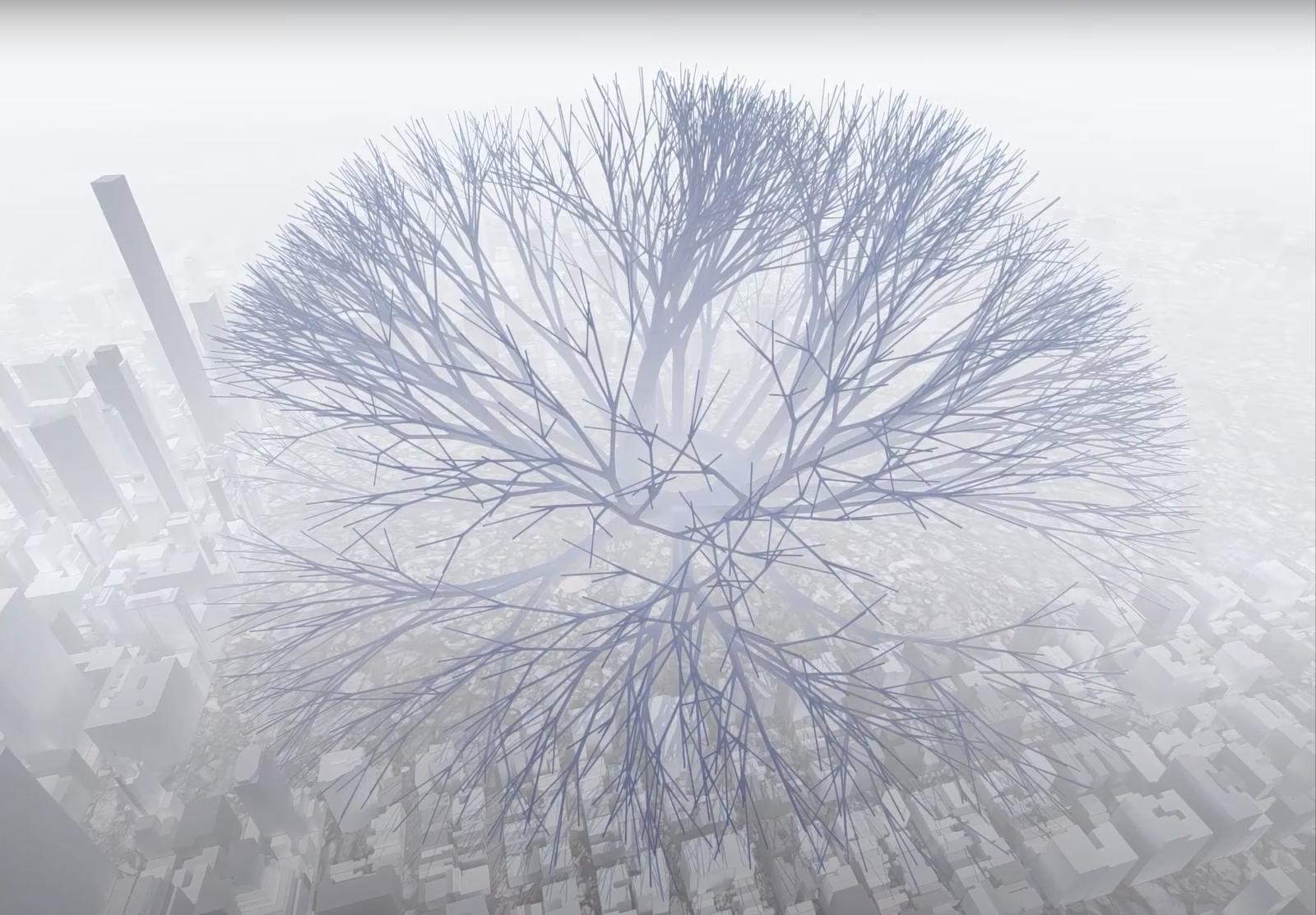
Virtual Vegetation visualizes the disparity in digital accessibility across select U.S. cities. One central data-set is used to generate each plant, and variables such as climate, materiality, and urban landscape inform the digital environment representing each location.The generated plants’ growth and movement are then simulated for a final visual output.
put your 50 word project sttement here

