Kate, Architectural Design, 2022
Valery Kate Perez is a Colombian – American multidisciplinary artist and designer. Her work challenges and identifies how different spaces interact with human emotions and behaviors. She finds herself interested in how spaces impact our lives and how people create spatial understanding.
Project Overview
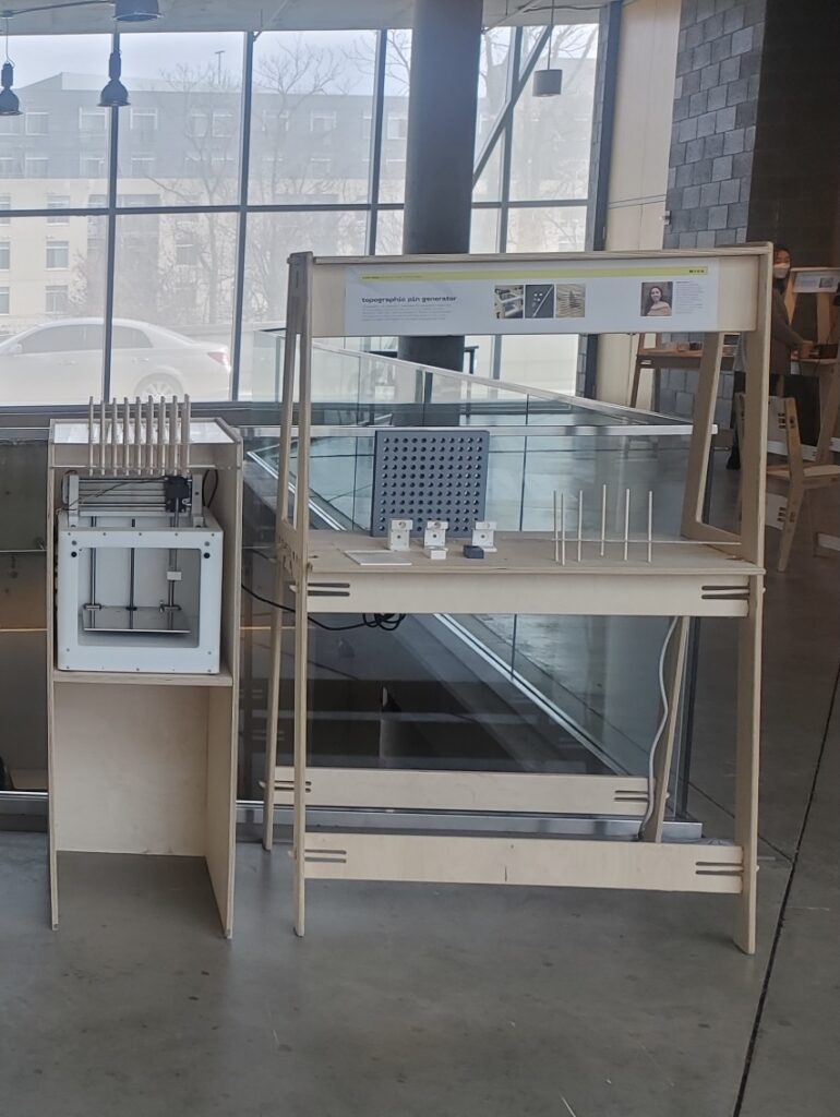
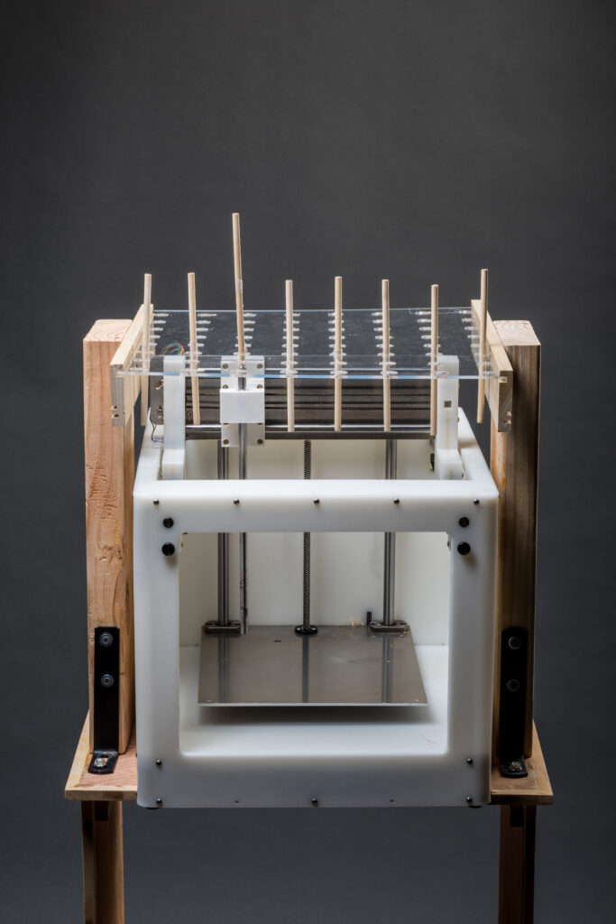
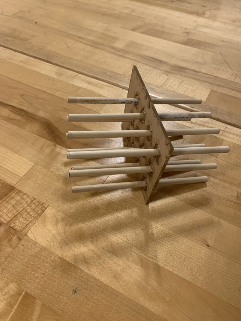
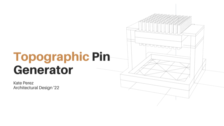
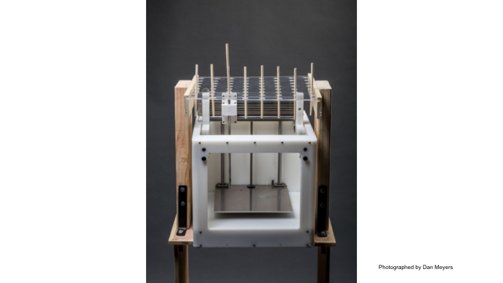
The Topographic Pin Generator translates two – dimensional topographic maps into three-dimensional landscapes. The machine was designed inspired by the Pin Art Toy created by Ward Fleming in the year 1987. It creates three-dimensional reliefs of topographical information by using an array of pins that move on the z-axis, based on the height information of recorded topographical maps. The mechanics of this machine function similar to a 3D printer, it needs a series of coordinate points to recreate a designated landscape. Instead of printing a materialized object this variation of a 3D printer will utilize coordinate points to create scaled three-dimensional cuts of landscapes. This process of making explores spatial interpretations and comprehension of landscapes through two – dimensional and three-dimensional processes.
Process
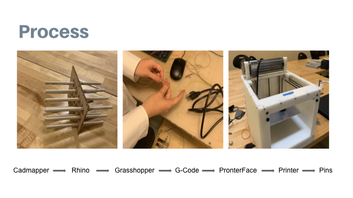
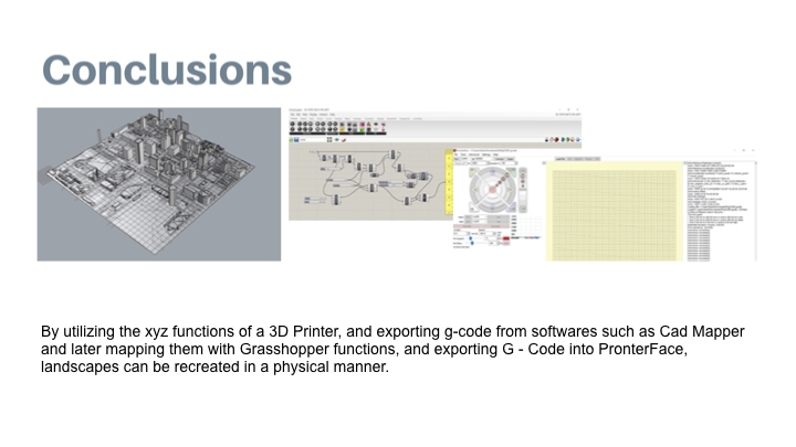
The Topographic Pin Generator utilizes the mechanics of a 3D printer to move pins on the z-axis to form landscapes that were captured by software that registers topographical information. By using the software Cad Mapper, topographical information can be transferred into Rhino in a series of layers. In Rhino, the software plug-in Grasshopper is then used to register the coordinate points of the topographical elevations. These coordinate points are then exported as G-code, a file type that can be recognized by the printer. This alternative printer machine has been programmed to move upward towards a series of suspended pins that live securely attached to two acrylic sheets. As these pins move they will generate the same topographical landscape as the one generated in the previous digital realm of the software used.
Presentation
I was able to generate physical depictions of a landscape by using various digital programs and plug-ins such as Cadmapper, Rhino, Grasshopper, Xylinus (created by Ryan Hoover) , G-code, and PronterFace.
Using Cadmapper I chose to map the Inner Harbor and imported the file into Rhino. With this information, I took the surface of the topographical input, and with the help of Ryan Hoover, utilized Grasshopper to register the various coordinate points according to the landscape of the Inner Harbor. Using Ryan’s plugin for Grasshopper called Xylinus, coordinate points can be exported into g- code to be then imported into Pronterface. In Pronterface, the software used to make the 3D printer function was coded to push individual pins in the z-axis to reflect the landscape of the Inner Harbor.
My finding was that landscapes can be recreated in a physical manner by utilizing the mechanics of a 3D printer and introducing the functions of Pin Art to move individual pins to different lengths according to the elevation of a landscape.
Learn More
Personal Website
https://www.vkperez.com/
Creative Process Journal
https://vkkperez.wordpress.com/
@vkperezz
